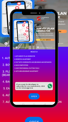
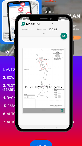
Welcome to the world of mobile possibilities where you can generate professional survey plan automatically.
Coordinate Plot ensures you produce survey plan with ease and faster.
It is composed of
*editing of coordinates, bearings and distances.
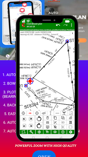
* plotting tools for plotting.
* themes, scaling, plan title and origin implementation.
* road design tools for a professional survey plan implementation.
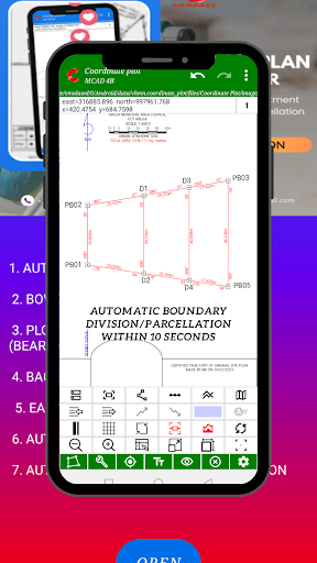
*Automatic and fast land parcelation/boundary division.
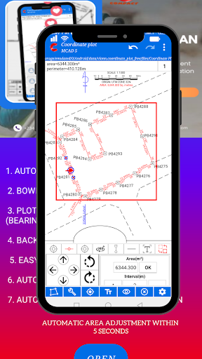
*Automatic area adjustment
Data safety
Safety starts with understanding how developers
collect and share your data. Data privacy and security practices may vary based
on your use, region, and age. The developer provided this information and may
update it over time.
Whats New
★ Return Build tools to normal view.
★ All skidding difficulties for plotting tools have been removed.
★ Added feature for hiding and showing beacon and point object.
★ Added option for showing area in hectare and square meter.
★Fixed show input bug
★over all bugs fix