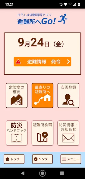
"Go to the evacuation center!" Is an official disaster prevention app operated by Hiroshima City and surrounding municipalities.
[Participating cities and towns]
Hiroshima City, Hatsukaichi City, Etajima City, Kumano Town
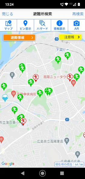
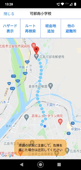
When an evacuation order is issued, the route display to the designated evacuation shelter / designated emergency evacuation shelter around the current location and the evacuation compass function support evacuation behavior.
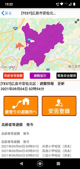
In addition, hazard maps such as sediment-related disaster warning areas, flood inundation areas, and tsunami inundation areas are displayed, so you can check the danger of your current location.
In addition, we will notify you of various disaster prevention information such as evacuation information and weather warnings by push notification.
[Main functions]
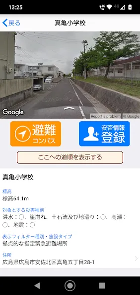
・ Display the route to the nearest designated emergency evacuation site when an evacuation order is issued
・ Route re-search display when the displayed route is deviated
・ Hazard map display of sediment-related disaster warning areas, inundation areas, etc.
・ Display of disaster prevention information and danger information at your current location
・ Push notification of disaster prevention information, list display
・ Safety registration, safety confirmation
・ Multilingual support (Japanese, English, Chinese (simplified / traditional), Korean, Portuguese, Spanish, Vietnamese, Tagalog)
Data safety
Safety starts with understanding how developers
collect and share your data. Data privacy and security practices may vary based
on your use, region, and age. The developer provided this information and may
update it over time.