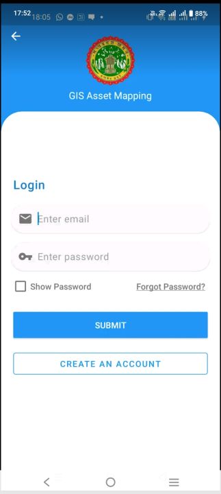
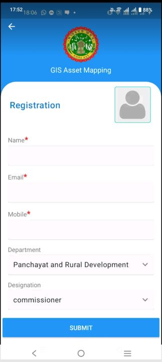
Asset Mapping and Monitoring via mobile application.
Asset Mapping and Monitoring via mobile application. It is a form-based mobile app that’s perfect for field survey (Asset Mapping). The combination of GPS and GIS features allow user to collect data on their mobile device – text, videos and photos –online or offline. This mobile app would be used for government officials initially. Data from the surveys are sent instantly and integrated into geoportal (web) for real-time monitoring by decision-makers.
Data safety
Safety starts with understanding how developers
collect and share your data. Data privacy and security practices may vary based
on your use, region, and age. The developer provided this information and may
update it over time.