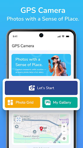
📷 Add GPS Location & Map to Your Photos Instantly!
The GPS Map Camera: Geo Photo Tag app helps you take photos with real-time location details like latitude, longitude, full address, map overlay, date, and timestamp — all embedded on the photo.
Perfect for field work, travel memories, delivery proof, inspections, surveys, and more!
✅ Key Features:
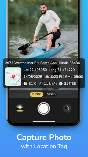
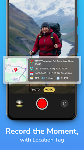
🌍 GPS Coordinates on Photos
Add real-time latitude & longitude to your images.
🗺️ Live Map View Overlay
Display Google Map on the photo with current location pin.
📍 Full Address Stamp
Capture street, city, state, and country name on photos.
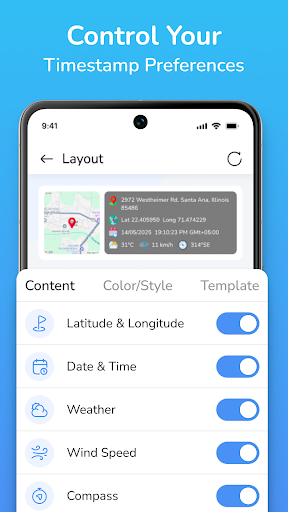
📆 Date & Time Stamp
Show timestamp (current date & time) on captured images.
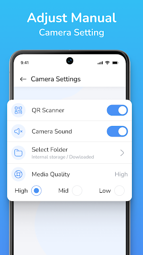
🛠️ Custom Stamp Styles
Customize font, color, position, and map type (satellite, hybrid, etc.).
📂 Photo Gallery Access
View and manage your geotagged photos easily.
🧭 Multiple Use Cases
Useful for:
Travelers & bloggers
Survey & field agents
On-site workers
Delivery proofs
Government field data collection
Construction site reporting
📸 Easy & Lightweight
User-friendly camera interface with real-time tagging.
🎯 Why Choose This App?
Real-time GPS tagging on photos
Add map location, full address & date/time
Great for photo proofs, documentation & tracking
Free, fast, and works without internet (after GPS is locked)
📥 Download GPS Map Camera: Geo Photo Tag now and capture moments with accurate location and time details. Perfect for both personal and professional use!
Data safety
Safety starts with understanding how developers
collect and share your data. Data privacy and security practices may vary based
on your use, region, and age. The developer provided this information and may
update it over time.