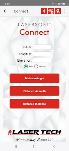
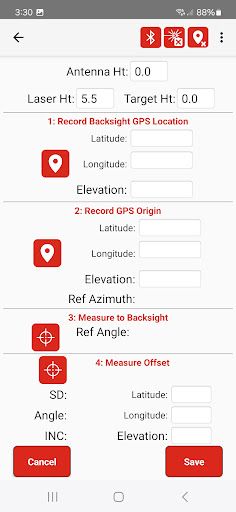
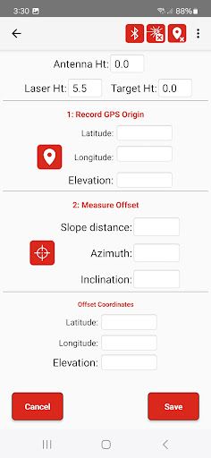
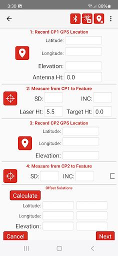
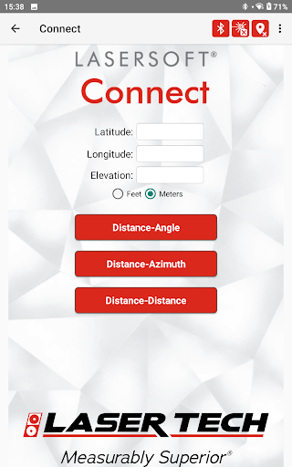
Are you an Esri Field Maps user? Bring any GPS equipment to your project and use LaserTech's Connect app to enable offsetting your features location using one of our patented TruPulse lasers. Utilize one of three efficient workflows to position the laser and make the measurements to your feature. You can even record accurate elevations and object heights with the TruPulse.
Data safety
Safety starts with understanding how developers
collect and share your data. Data privacy and security practices may vary based
on your use, region, and age. The developer provided this information and may
update it over time.