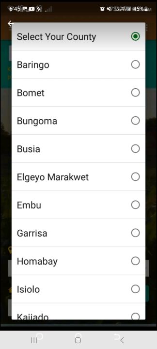
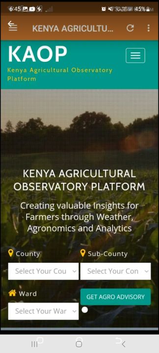
Kenya Agricultural Advisory Platform is an integrated online platform that uses Geo-data from satellites to generate real-time and location specific agro-advisories to farmers and other stakeholders. These advisories enable them to make more informed farming decisions. The system is able to predict precipitation and temperature and plot dynamic charts given GPS coordinates of any location in the country for the next 7 days and provide weather observations for the past 7 days and 30 days.
Data safety
Safety starts with understanding how developers
collect and share your data. Data privacy and security practices may vary based
on your use, region, and age. The developer provided this information and may
update it over time.