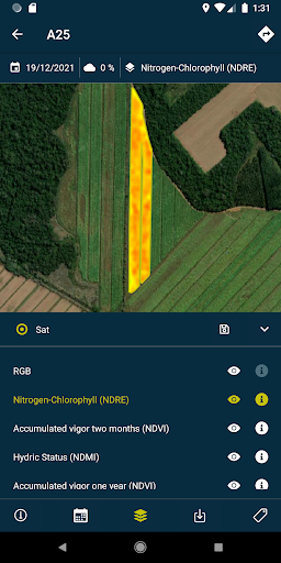
This app allows you to view the agronomic reports and recommendations generated by HEMAV LAYERS through the combination of Artificial Intelligence and the use of drone and satellite technology.
With this app you can:
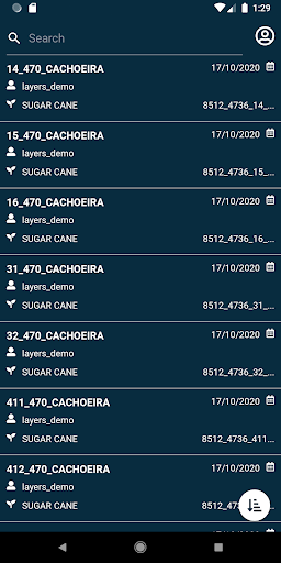
- View fields.
- Search fields with a multitude of filters.
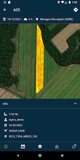
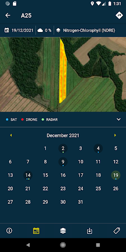
- Visualize the layers (reports and recommendations) and the pdf's generated in each flight/satellite made in the field both online and offline.
- Take field photos and geolocate them, also adding comments to them to have exhaustive control of your fields.
- Perform surveys in the field and insert them into the system to be processed.
This app requires a subscription service to HEMAV products.
INFORMATION ABOUT THE HEMAV PRECISION AGRICULTURE SERVICE:
Through the artificial intelligence software, LAYERS, HEMAV offers the agricultural sector agronomic recommendations to make treatments more efficient and generate crop production estimates at the production and quality levels.
Data safety
Safety starts with understanding how developers
collect and share your data. Data privacy and security practices may vary based
on your use, region, and age. The developer provided this information and may
update it over time.
Whats New
New global map view with field geometries on startup
Refreshed user interface and improved navigation
Download individual layers for offline use
Bug fixes