LRIS Goa (Land Resource Information System of Goa) This is GIS base application
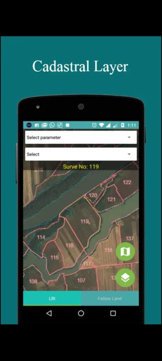
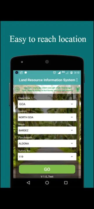
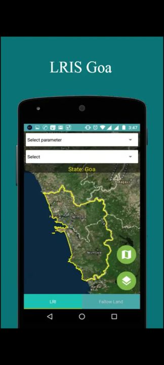
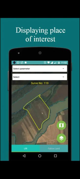
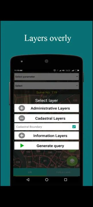
LRIS Goa (Land Resource Information System) is android based mobile application. This is a GIS (Geological information system) base application which uses Esri map which works for goa state only. This application provides the graphical information of the goa state and also shows multiple layers State Boundary, District Boundary, Taluka Boundary, Panchayat Boundary and Cadastral Boundary.
Data safety
Safety starts with understanding how developers
collect and share your data. Data privacy and security practices may vary based
on your use, region, and age. The developer provided this information and may
update it over time.