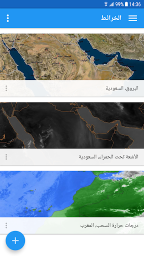
For all weather fans and amateur forecasters in the Arab world, the Weather Maps app from ArabiaWeather allows you to monitor latest satellite and clouds images for various locations in the Arab world (from the Arabian Gulf to West Africa). Whether you follow weather events or chase storms, ArabiaWeather Maps app puts you at the center of current weather events, from low pressure systems and rain to dust and fog events.
App Features:
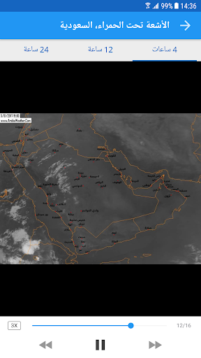
• Various types of satellite and cloud images (infrared, clouds with lightning, visible, water vapor, air masses, fog, dust, …)
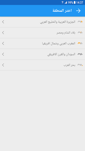
• Different locations (Arabian Sea, Arabian Gulf, Red Sea, Arabian Peninsula, African Horn, Levant, Mediterranean Sea, North and West Africa)
• Updated images every 15 minutes, up to 24 hours.
• Ability to receive new types of satellite images as they get developed by ArabiaWeather team.
Data safety
Safety starts with understanding how developers
collect and share your data. Data privacy and security practices may vary based
on your use, region, and age. The developer provided this information and may
update it over time.