QField – Professional GIS Data Collection Made Easy
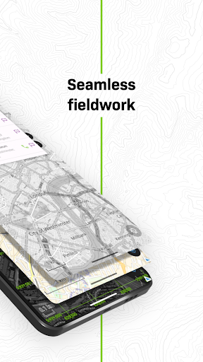
QField is the ultimate mobile app for efficient, professional-grade GIS fieldwork. Built on the power of QGIS, it brings fully configured GIS projects to your fingertips—online or fully offline.
🔄 Seamless Cloud Synchronization
Collaborate in real-time with QFieldCloud—sync data and projects effortlessly between the field and office, even in remote areas. Changes made offline are stored and automatically synced when connectivity is restored.
While QFieldCloud provides the most seamless experience, users are free to work through their preferred methods. QField supports loading data via USB, email, downloads, or SD card.
📡 High-Precision GNSS Support
Capture accurate data using your device’s internal GPS or connect external GNSS receivers via Bluetooth, TCP, UDP, or mock location.
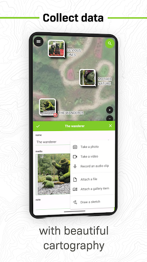
🗺️ Key Features:
• Supports .qgs, .qgz, and embedded QGIS projects
• Custom forms, map themes, and print layouts
• Real-time GPS tracking with altitude, accuracy, and direction
• Offline editing of spatial data anywhere
• Sync projects and updates with QFieldCloud (optional)
🔧 Want to customize or add new features?
Contact us at https://www.opengis.ch/contact/
🔐 Permissions
QField may request location access to display your position and collect spatial data. External GNSS is fully supported for high-precision needs.
❓ Questions or Issues?
Report bugs or request features at: https://qfield.org/issues
Data safety
Safety starts with understanding how developers
collect and share your data. Data privacy and security practices may vary based
on your use, region, and age. The developer provided this information and may
update it over time.